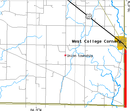
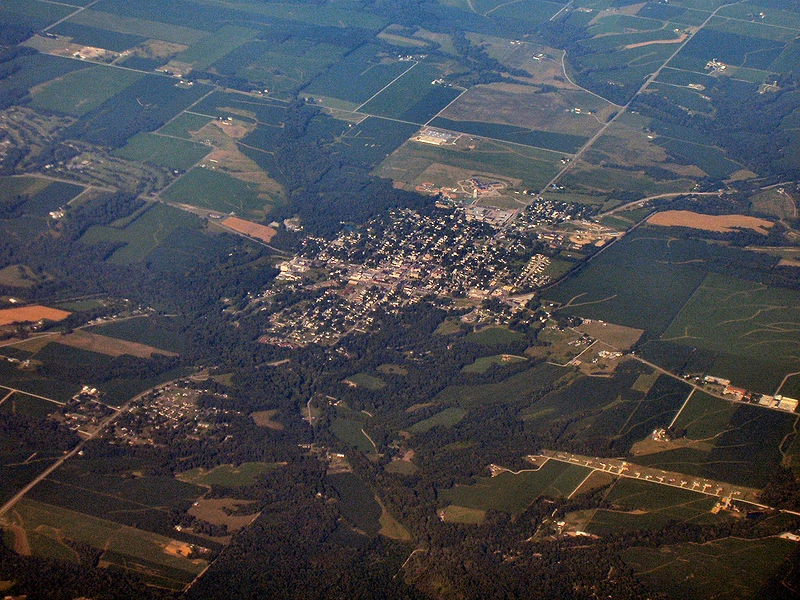
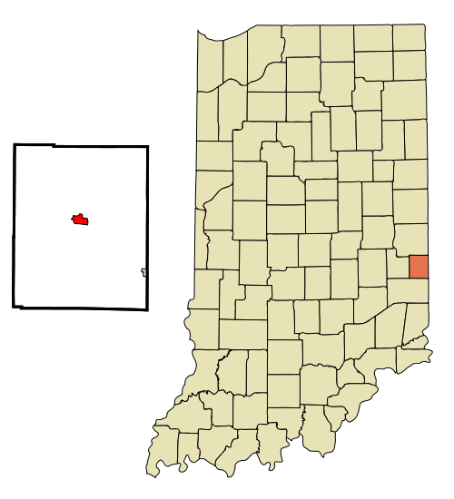
Liberty Township is one of six townships in Union County, Indiana, United States. As of the 2020 census, its population was 1,025 and it contained 451 housing units.
Geography
According to the 2010 census, the township has a total area of 25 square miles (65 km2), of which 23.72 square miles (61.4 km2) (or 94.88%) is land and 1.28 square miles (3.3 km2) (or 5.12%) is water.
Unincorporated towns
- Dunlapsville at 39.5908823°N 84.9935723°W / 39.5908823; -84.9935723
- Roseburg at 39.5889385°N 84.9469043°W / 39.5889385; -84.9469043
(This list is based on USGS data and may include former settlements.)
Adjacent townships
- Brownsville Township (north)
- Center Township (east)
- Union Township (southeast)
- Harmony Township (south)
- Jennings Township, Fayette County (west)
- Waterloo Township, Fayette County (northwest)
Cemeteries
The township contains these two cemeteries: Patterson and Silver Creek.
Lakes
- Whitewater Lake
Landmarks
- Whitewater Memorial State Park (vast majority)
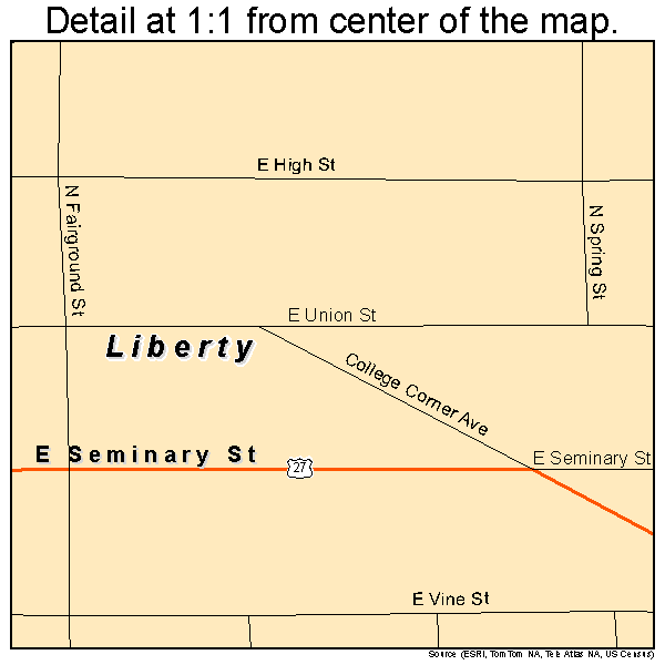
School districts
- Union County-College Corner Joint School District
Political districts
- Indiana's 6th congressional district
- State House District 55
- State Senate District 43
Notes
References
- United States Census Bureau 2007 TIGER/Line Shapefiles
- United States Board on Geographic Names (GNIS)
- IndianaMap
External links
- Indiana Township Association
- United Township Association of Indiana