Tamalín is a municipality located in the north zone in the Mexican state of Veracruz. It has a surface of 417.85 km2. It is located at 21°20′N 97°49′W. By Decree of November 13, 1875 there was raised in municipality Tamalín's congregation that concerned to Tantima's municipality.
Geography
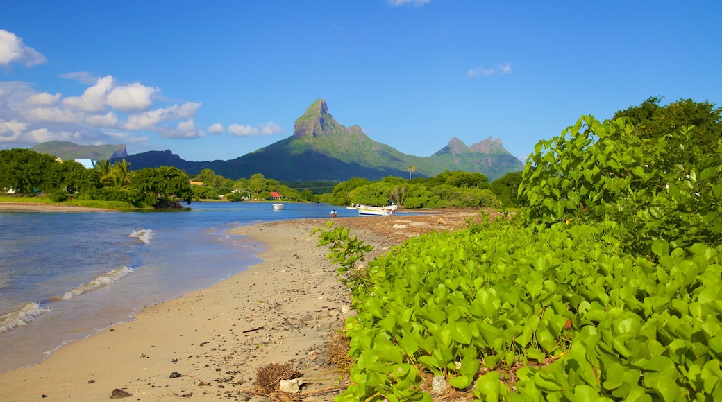
Tamalín lies on the west shore of Tamiahua Lagoon. The municipality is delimited to the north and north-west by Ozuluama, to the east by Tamiahua, and to the south by Tancoco, Naranjos Amatlán and Chinampa de Gorostiza.
The weather in Tamalín is very warm and wet all year with rains in summer and autumn.
Agriculture
It produces principally maize, beans, watermelon and orange fruit
Celebrations
In Tamalín , in July takes place the celebration in honor to Virgen de Guadalupe, Patron of the town.
References
External links
- (in Spanish) Municipal Official webpage
- (in Spanish) Municipal Official Information